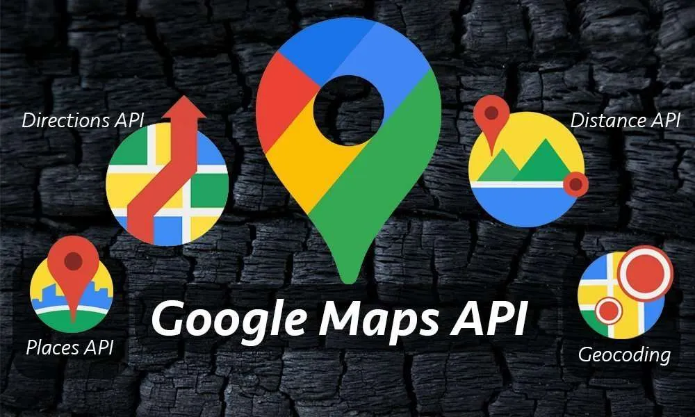
10 Javascript Mapping APIs
Interactive maps are now essential for lots of websites and mobile apps. They help to show data about places and give directions, making it easier for users to understand information and have a good experience.

JavaScript is a very used technology that makes maps interactive and dynamic on the internet.
The JavaScript environment has many strong mapping APIs for developers to use when they want to add interactive maps into their work.
What exactly do JavaScript mapping APIs entail?
JavaScript mapping APIs make it easy to add maps into websites and apps for phones. Developers can choose from many options to find the best API for their work. Moreover, they can use additional JavaScript APIs to add extra widgets and features in their maps, making the interface more visually appealing and integrated.
Importance of Using JavaScript Mapping APIs
Today, many web and mobile applications include interactive maps as a regular feature. They offer easy-to-understand visual screens to show data connected with places, include features for navigating, present information about areas and additional things.
However, creating bespoke interactive mapping features from scratch needs a great amount of effort. This is where JavaScript mapping APIs come in handy.
JavaScript mapping APIs are open-source tools that greatly simplify working with interactive maps. They simplify the complicated tasks of showing maps, handling geographic information, and allowing for custom changes by providing a straightforward JavaScript API.
Mapping APIs use the expertise of dedicated geospatial firms and offer tools that simplify how developers can add detailed mapping features into their applications and web pages.
Benefits of Creating Interactive Maps
Some major benefits of using JavaScript mapping APIs include:
Cross-platform
JavaScript mapping APIs integrate smoothly with web or mobile applications, allowing for adaptable use across different platforms and frameworks.
JavaScript mapping tools help programmers work faster and use more complex map features to improve their projects.
Save development time and effort
Developing interactive maps completely from scratch is very complicated. Using mapping APIs gives you pre-made features so that you can concentrate on creating the app's functionalities instead of the difficult parts of map-making.
Access to map data
Mapping APIs use the strong geographic databases from mapping platform companies. There is no need to find complicated geospatial data by yourself.
Active development
Open-source mapping APIs benefit from big communities that keep adding new functionalities and improvements. Keep updated with the latest developments in mapping technology.
Rich feature sets
JavaScript mapping tools come with ready-to-use abilities such as moving and zooming that you can control, adding layers on top, information about traffic, converting addresses to coordinates or the reverse, guiding for routes, examining space-related data patterns, connecting data points to visual elements, creating maps in three dimensions and other functions.
Design flexibility
Adjust the look of maps, add layers on top and change parts of the user interface for websites or mobile applications. Many toolkits offer plenty choices to style and personalize.
10 Javascript Mapping APIs
Let’s look at some popular JavaScript APIs.
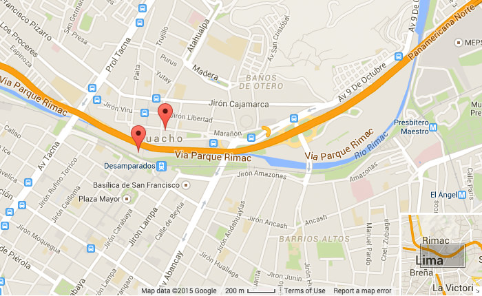
Google Maps API
Google Maps is known by many as the top map service globally. People can find out how long it will take to get to your business, look at the traffic conditions on their way, and discover places that are close by.
To put Google Maps into your website or app, JavaScript API is what you can use. And if WordPress is what your business operates on, interactive maps from Google Maps can be added by using a plugin for it.
ArcGIS
ArcGIS API for JavaScript provides a simple method to include maps and functions in web applications, offering numerous features, examples, pre-packaged widgets, and templates.

Esri offers a developer portal that is nicely organized and simple to navigate. This portal provides entry to ArcGIS APIs and SDKs, thorough documentation, interactive demonstrations, examples of code, among other things. Esri provides a separate pricing model based on credits for developers without an ArcGIS online subscription.
Esri technology is utilized by over 350,000 organizations across the globe, and more than two thirds are among the Fortune 500 companies.
Openlayers
Openlayers is a JavaScript API with open-source code that provides many kinds of map layers from different sources, as well as various services for maps. You have the option to select from diverse layer types such as vector and tiled layers. You may also customize the appearance of your map by selecting from a variety of CSS styles.

Open layers provide detailed guides, interactive demonstrations, and examples of code to make learning simpler. Additionally, you have the option to display vector data from various geographic formats such as TopoJSON, GeoJSON, KML and GML.
Kartograph
Katrograph is a small JavaScript API that works with Kartograph SVG maps to give map services. It is created using jQuery and Raphael, and for making maps it uses the Katro.py tool.

Kartograph makes use of jQuery to manage the DOM, handle data and do CSS animations, among other tasks. Additionally, Kartograph employs Raphael for creating drawings. Additionally, Kartograph offers library documentation and API references to run projects smoothly.
Leaflet
Many developers choose Leaflet as their JavaScript API for putting maps into mobile apps. The Leaflet JS API is compact, it loads fast, and it provides many functions that are compatible with various browsers and devices.
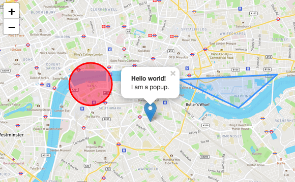
Leaflet is used by well-known companies such as Flickr, Facebook, Etsy, and GitHub. Moreover, Leaflet offers thorough documentation and a large community that gives examples for learning and help with technical issues.
Mapbox
Mapbox provides many options such as personalized icons, surface designs, vector tiles, location finding services, satellite visuals and unchanging maps. It lets you design dynamic maps using JavaScript with special tools and grants complete command over the map backgrounds.
Mapbox provides a special tool called Mapbox editor, which lets you make your own maps that are tailored to what you need. Mapbox supports data formats that include GeoJSON, KML, GPX, and CSV, among others.
DataMaps
DataMaps is a JavaScript mapping API that is versatile. It can be used for both small and big applications, offering features like sharp images, different color schemes, and views similar to what you would see on a globe.
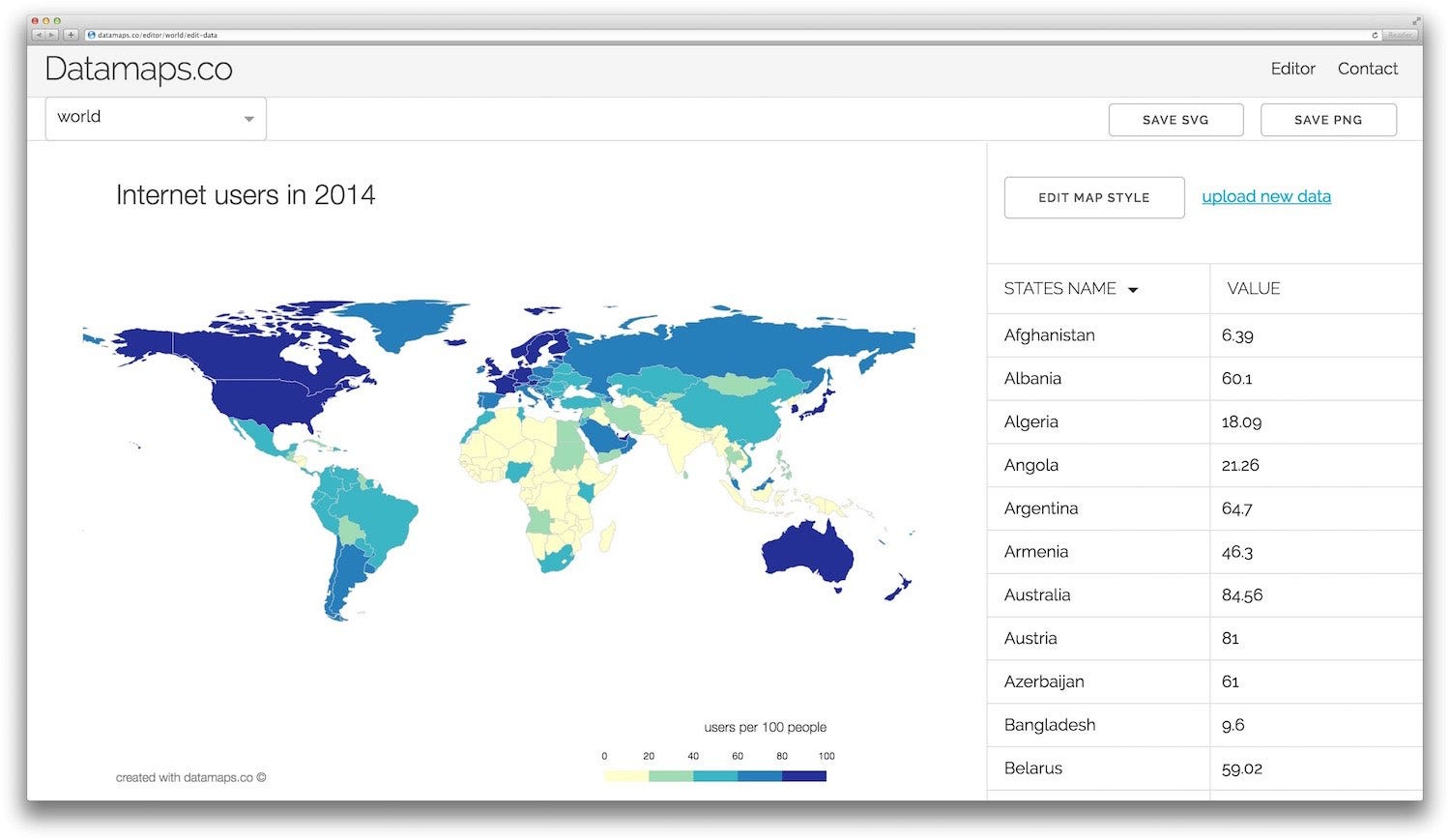
Data Maps offers perfect documentation for creating interactive maps with JavaScript. You can also test Data Maps in different web browsers and plugins.
jVectorMap
In the group of JavaScript APIs for maps, jVectorMap can make maps that fit various screens and work with different browsers. jVectorMap designs interactive maps in vector form so they adjust well to any screen size.
jVectorMap provides a tool for making your own version of ready-made map designs. It also has features like mouseover effects, showing labels, following ISO 3166 standards and presenting data visually.
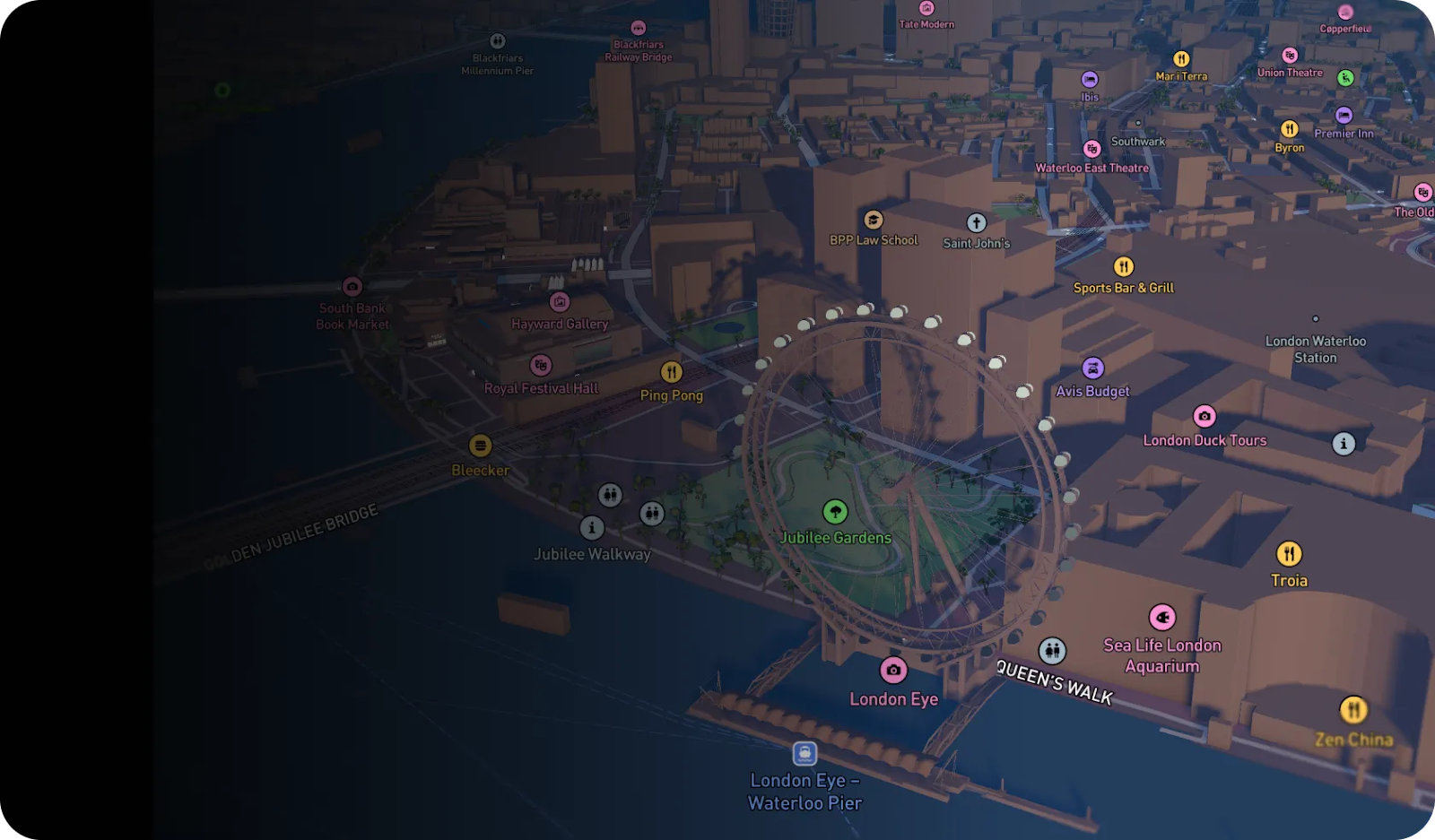
CesiumJS
Compared to different JavaScript APIs, CesiumJS lets you make 3D maps. With CesiumJS, there are special tools for looking at interactive JavaScript map demos in 3D.

CesiumJS offers important functions like layers for terrain, tiles in 3D, images with three dimensions, and interactive visual journeys. Furthermore, there is very good documentation and step-by-step guides available to help understand how to use CesiumJS.
jQuery Mapael
jQuery Mapael lets you create maps where cities can be plotted using SVG paths according to their latitude and longitude. Also, it has a feature good for SEO that is quite important. The SEO function allows search engine crawlers to navigate your map in JavaScript and non-JavaScript versions.
This JavaScript API lets you change map sizes, connect cities, choose colors, put marks on points and show data visually. jQuery Mapael also has other things like little messages when you hover over items, putting in events, making links to other pages, drawing shapes and adding your own pictures.
Conclusion
JavaScript mapping APIs are essential for web and mobile app developers who want to add interactive maps. These tools simplify the complexity of showing maps and give straightforward ways to change how they look, put layers of information on top, connect data sources with places, and make user interaction better.
For putting maps into a phone app or on a website, it is important to use a JavaScript API for mapping. Developers must pick a JavaScript API that works well with the system or structure they already have.
How much is a great User Experience worth to you?
Browsee helps you understand your user's behaviour on your site. It's the next best thing to talking to them.

